 Flemish Roads
Discover every road worth riding.
Climbs, cobbles and hilly roads across Flanders and beyond. Find the famous ones. Find the ones you didn't know existed.
Explore the roads of the ClassicsStart somewhere good.
- KoppenbergCobbled climb · Oudenaarde560 m · 11.5 % · max 18.7 %View climb
- Oude KwaremontCobbled climb · Kluisbergen2.33 km · 4.5 % · max 9.6 %View climb
- PaterbergCobbled climb · Kluisbergen365 m · 12.8 % · max 17.2 %View climb
- KemmelbergClimb · Heuvelland920 m · 7.9 % · max 17.7 %View climb
- Tour of FlandersClassic route · red loop from Oudenaarde116 km · +1,598 m · 54 climbsExplore route
- Paris–RoubaixCobbled Classic · northern France31 cobbled sectors, rated in starsSee the sectors
Every climb
From famous bergs to ramps without a name.
Flemish Roads measures the roads themselves and finds the climbs in their elevation profiles. Every one is on the map, rated from 1 to 10.
Find climbs nearby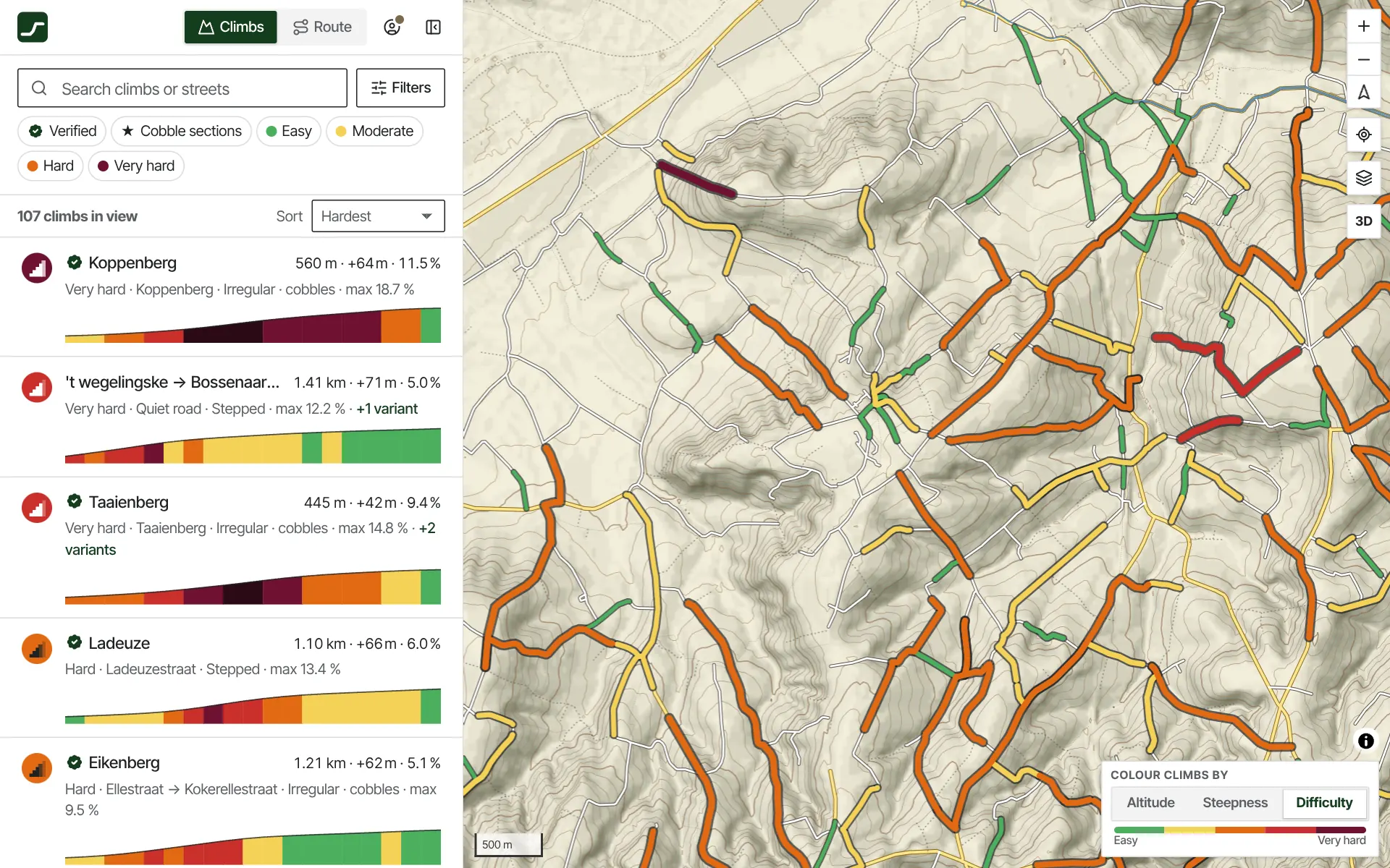
Look before you ride
See how steep it gets.
The gradient, the steepest section, the height, the surface and the full road profile, before you get there. Tilt the map and the climb stands up in 3D.
View the Koppenberg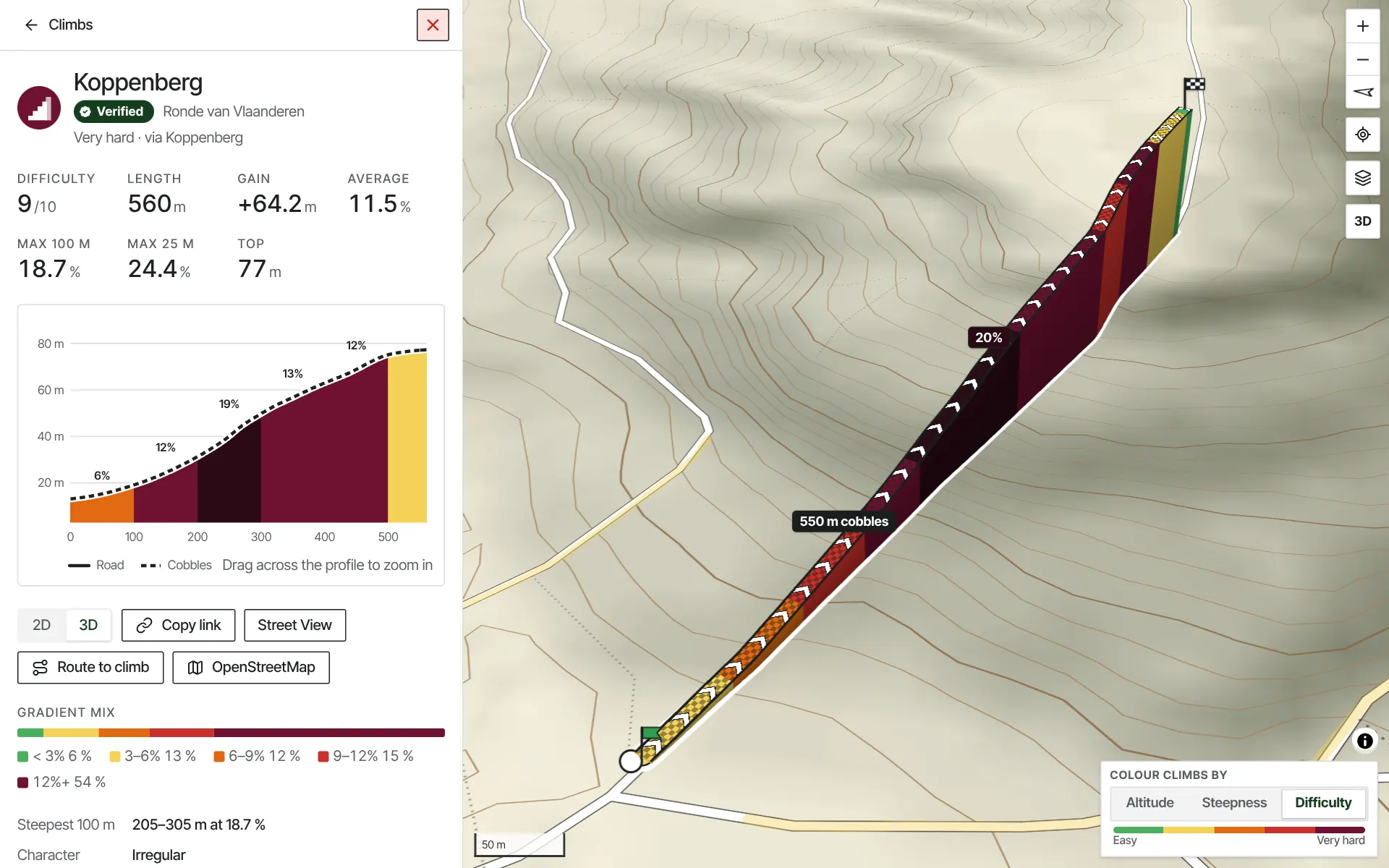
Build the ride
Draw a route through them.
Click a climb and the route rides it, foot to top. Distance, climbing and every climb on the way, as you draw. Export it as GPX when you're done.
Build a routeSuggest a route
Or let it find a hilly loop.
Pick where you start and get three loops back. Want more climbing? Ask for it. Pick one, change it, ride it.
Suggest a routeYou don't need to go to the Ardennes.
There are climbs everywhere. Flemish Roads finds the small ones too: the ramp behind the church, the lane up to the farm, the road you've ridden past for years.
See what's near you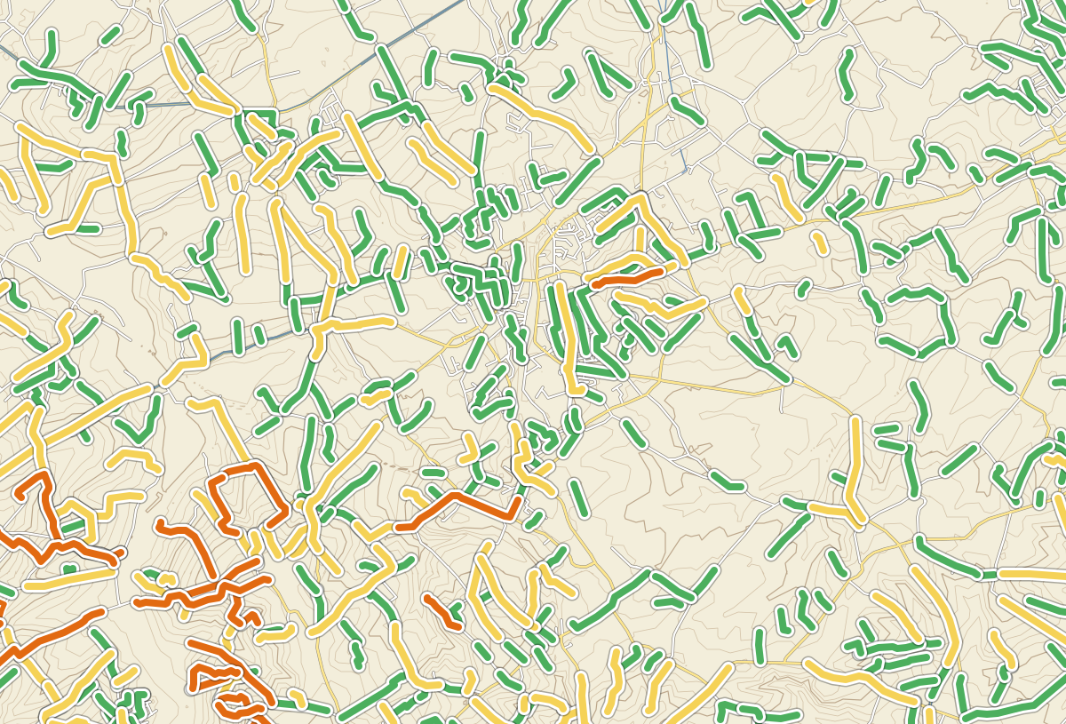
Ride the Classics
Explore the roads of the Classics.
- Tour of FlandersBergs, cobbles and the roads of the Ronde.
- Paris–RoubaixThe cobbled sectors of northern France.
- Gent–WevelgemThe Kemmelberg and the hills of the Westhoek.
- Omloop Het NieuwsbladThe season's opener: bergs and cobbles south of Ghent.
Measured from the ground up
Road profiles come from public laser height models of the ground, not from joining up the points of a GPS track.
- The roadsEvery road a bike may use, from open map data.
- The heightsEach road measured every few metres against a laser model of the ground.
- The climbsWhere a road rises far enough and steeply enough, it becomes a climb.
- Checked by handThe famous bergs and cobbled sectors, verified one by one.
- climbs mapped
- verified bergs and cobbled sectors
- km of road measured
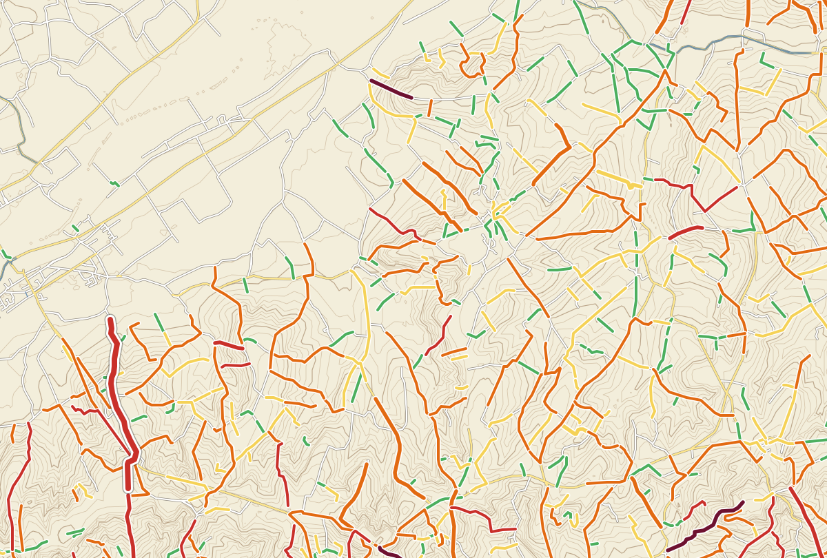
The best roads are never flat.
Open the map